History is the study of everything. No matter what your major or interest, history encompasses it—politics, economics, religion, science, art, mathematics, engineering, music, dance, fashion, food, literature, law, sports, war, medicine—each one has a history. In other words, the history major explores every aspect of the human experience.
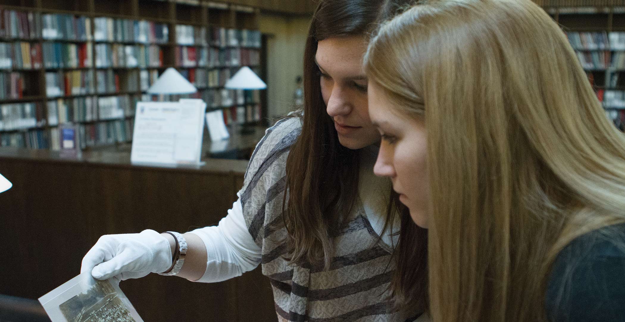
Studying the past gives you skills—like writing, research, and critical thinking—to navigate life after college. Furthermore, students of history accumulate knowledge of societies and appreciate traditions from around the world. This cultured sensibility will help you build personal and professional relationships with people from all walks of life.
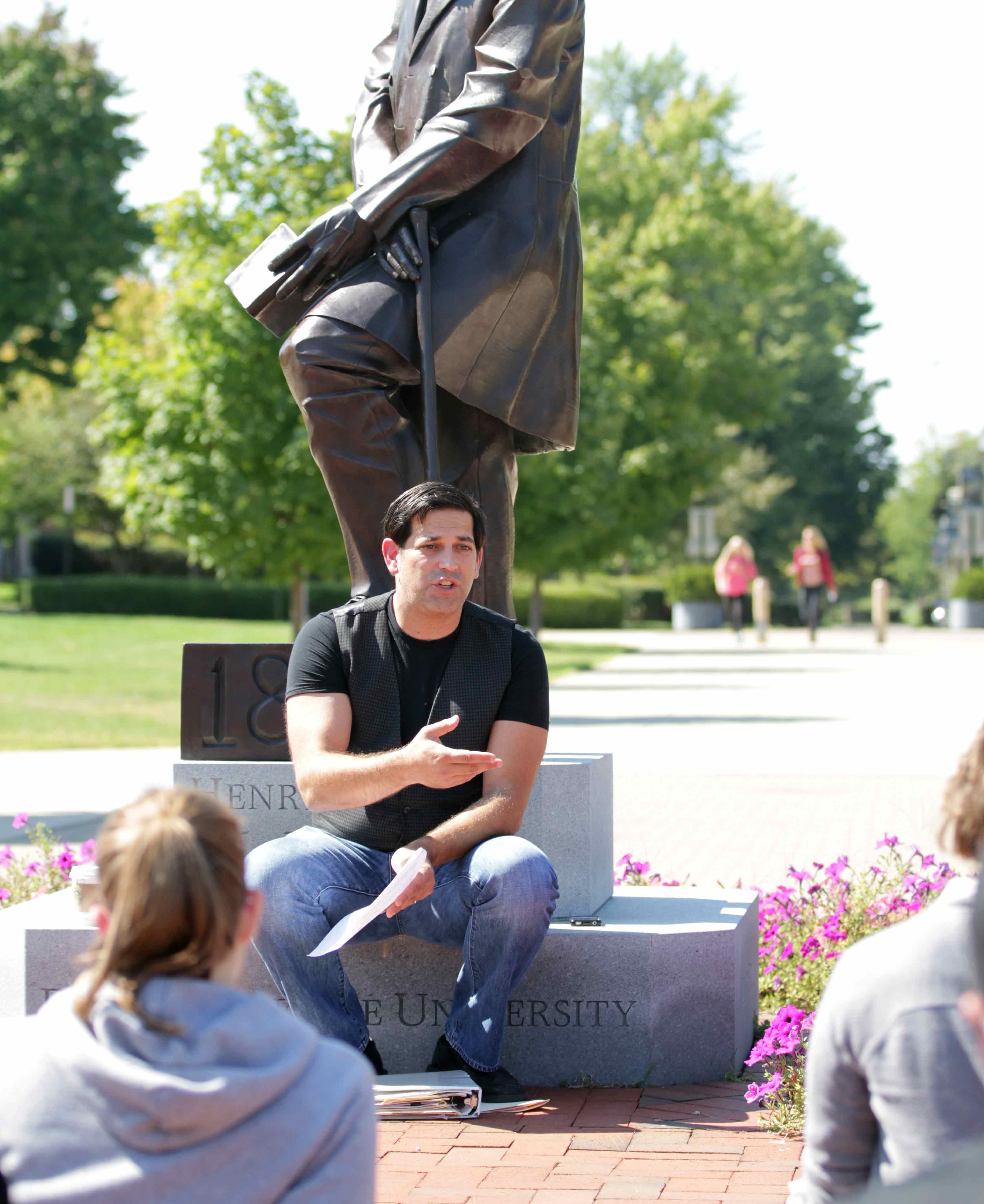
Large institutions just can’t provide the individualized attention and opportunity you’ll find here. At ONU, you won’t be a face in the crowd. From the time you arrive on campus until you graduate, you’ll be guided by a faculty advisor. Your class sizes will be small and you can tailor your education to your interests. Our dedicated professors will get to know you. They will support you in your coursework, research, internships, and career preparations. You’ll arrive on campus as a student, but you’ll leave as a seasoned professional.
You’ll arrive on campus as a student, but you’ll leave a seasoned professional. Upon graduation, you’ll be ready for whatever the future holds – whether it’s attending graduate school or embarking on a career. The career outlook for this field is truly wide open.